|
|
||||||||||||||
|
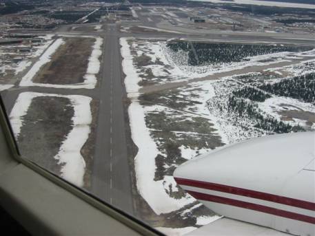
Thursday, May 8, 2003, 23:25 UTC (6:25 pm local) Report from Watertown, South Dakota. by Karl Hipp We are back on American soil, and this will be our last report. We were picked up at 7:30 this morning at our hotel in Goose Bay by Woodward Aviation. The weather charts that Gander had promised to fax were not at the FBO. John made a call and had the charts sent over. There was an unpredicted low overcast this morning. I filled out our IFR flight plan form and Nicole, the girl at Woodward Aviation, faxed it to Gander. After half an hour, we discovered there was a problem with the phone lines and Gander didn't have our flight plan. In Canada, you need an IFR or VFR flight plan if you are going to wander farther than 25 miles from the airport. Since we intended to wander 1,500 nautical miles, we needed a flight plan. We scrapped the IFR idea in favor of negotiating a VFR release from the tower. We managed that and launched off.
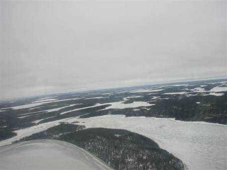
John flew the first leg and had to go north of our course to maintain forward visibility. The big low to the south and a high to the north was generating a 15 knot tailwind at our height of just several hundred feet. Our fuel stop was to be Moosonee, Canada (CYMO), 748 nautical miles southwest, located at the southern tip of Hudson Bay. After about a hundred miles, John was able to proceed direct on top of a broken layer. The tailwind was 30 kts at 10,500 feet.
Moosonee is a middle-of-nowhere place that is there for just the hospital (socialized medicine is a big government operation in Canada).
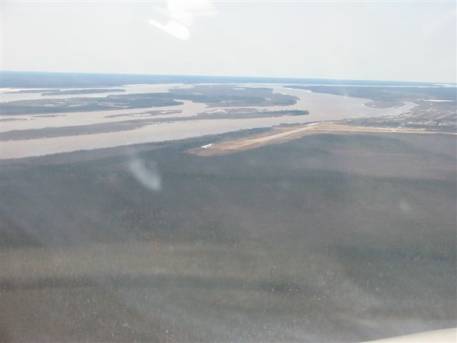
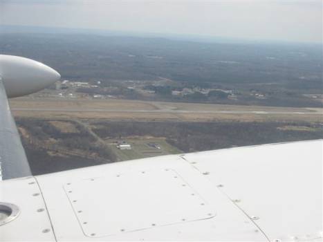
I flew the leg from Moosonee to Duluth International Airport in Minnesota where we cleared customs. It was 527 easy miles, in the clear, with diminishing tailwinds.
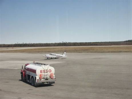
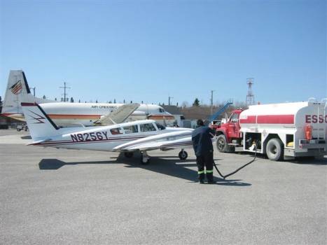
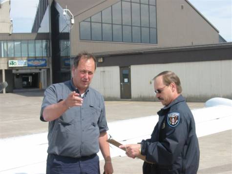
The customs guy was very thorough and observant. He wanted to see all the aircraft information along with the 337s and STCs for the non-factory fuel tanks (paperwork which I am legally obliged to carry). The cabin bladder had been stored in a nacelle locker back in Blackbushe. He looked at it and knew he couldn't say much since it was just "cargo".
Welcome back to America!
John decided I should do the rest of the flying back to Colorado. Since it was only 4:30 pm local at Duluth, we continued on to Watertown, South Dakota. The weather would be "down" in that area, but doable. I climbed to 4,500 feet under a developing ceiling. That worked okay until about 50-60 miles from Watertown when I needed to get down to "pattern altitude" because of lowering ceilings, crappy visibility, and rain. We landed, and are now at Watertown. It is raining. The computer weather station at the FBO indicates the most challenging weather of our 12,000 miles of flying may be tomorrow. There is a big low pressure in South Dakota with plenty of moisture, and there is the same over northern Colorado. Our tentative plan is to file IFR, go low altitude towards Pueblo, Colorado, and cross the continental divide via airways to the western slope in southern Colorado, where there seems to be less moisture than in the north. The terminal forecasts for Montrose and Grand Junction seem promising for this plan to be doable. This has been a fantastic trip, and we have had tailwinds 80 percent of the time! But we will have to pay for the trip--and the tailwinds--for the next several years. |
|||||||||||
|
|
|||||||||||